Digital optics & OLED
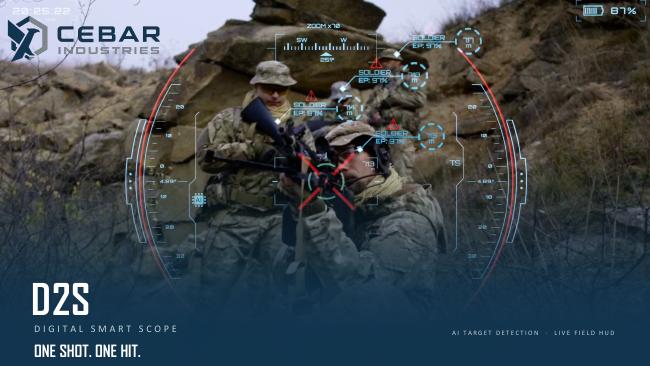
The digital camera supplies the image for the OLED display. The interface combines the view with configurable data and map overlays.
D2S / CEBAR INDUSTRIES
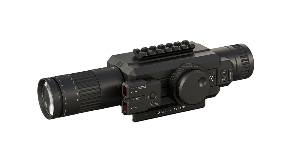
The CEBAR Industries D2S family combines digital optics, laser range measurement, environmental and orientation sensors, and ballistic assistance in an integrated system.
OVERVIEW
D2S brings imagery, sensor readings and digital information together in one interface. Integrated recording, Wi-Fi streaming and GNSS complement its optical functions. The system family comprises DMR, DMR+ and Ultra variants.
We help define the configuration, interfaces and evaluation steps for your project.
Product details at the manufacturer ↗The digital camera supplies the image for the OLED display. The interface combines the view with configurable data and map overlays.
A laser rangefinder, environmental sensors and multi-gyro capture different measurements within the device. GNSS adds positional data.
Video recording, Wi-Fi and Bluetooth support documentation and integration into an agreed system environment.
TECHNICAL PROFILE
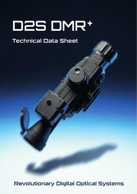
D2S brings digital imaging, range measurement, environmental sensing and information display into one system platform. This technical profile covers the DMR+ version documented in the datasheet available here.
The D2S family includes DMR, DMR+ and Ultra. The values below apply to DMR+; additional infrared and thermal imaging options are available on request.
Open product documentation (PDF) ↗DOWNLOADS / MEDIA
Documentation and media for your technical assessment.
Technical profile of the DMR+ variant, including dimensions, sensors and interfaces.
Additional manufacturer presentation of the system family and its functions.
PRODUCT FILMS
Manufacturer footage and demonstrations. The model and recording conditions vary by video.
Manufacturer film of the Ultra variant with product views and interface visualisations.
For offline playback, extract the website ZIP and open this preview from that folder.
Outdoor demonstration footage with an inset view from the device.
For offline playback, extract the website ZIP and open this preview from that folder.
Further demonstration footage and views of the digital image display.
For offline playback, extract the website ZIP and open this preview from that folder.
TECHNICAL EVALUATION
A useful evaluation focuses on the exact variant and the intended context.
Select DMR, DMR+ or Ultra and additional imaging channels to match requirements.
Assess display, user interface and power requirements against a defined evaluation plan.
Align interfaces, data flows and organisational requirements with the existing system environment.
OTHER SYSTEMS
NEXT STEP